
 Groups


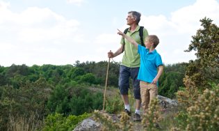
If there's one thing to know and understand before setting off on a hike, it's the markings! Each practice corresponds to its type of beacons. We tell you all about the marking codes so that you can practice with complete peace of mind on the marked trails of Destination Fougères.
Markings on a hike: follow the right markers
Provide all the tools to guide you
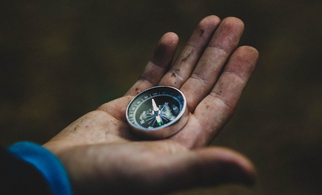
Markup is complementary to other orientation tools such as map or compass. We advise you to use these three tools together. Markings are maintained by communities and many volunteers, but you are not immune to faulty markings.
You don't know how to read a map or a compass well... What if you start?
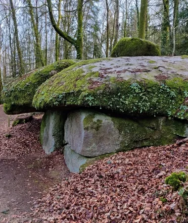
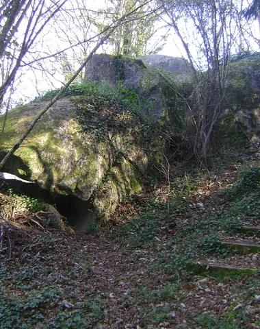
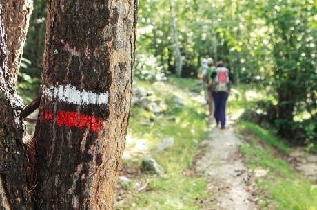
On the rocks, the walls and the posts... Have an eye to spot the markings!
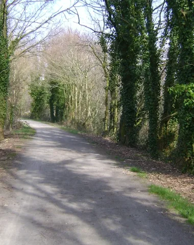
In the field, you will encounter different processes for carrying out the markup marks : paint, sticker, PVC or aluminum plates on milestone, directional post, etc.
And on different supports : rock, tree, wall, post… Their frequency depends on the terrain.
Discover the different markings by type of activity
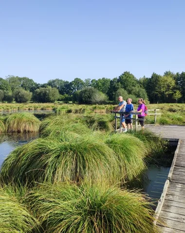
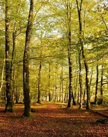
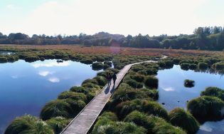
Markings for hiking trails
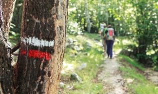
THE GR® (LARGE HIKING)
The GR® are marked routes for practice over several days and even several weeks while roaming. They are marked in White and red in both directions by departmental markers of the French Federation of Hiking. A recognized skill for 75 years!
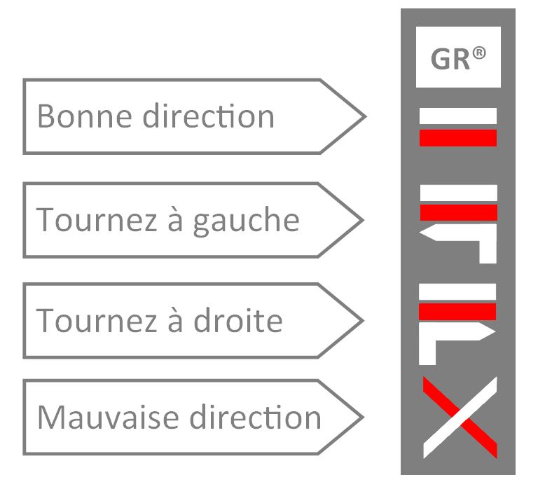
On Destination Fougères, you can browse the GR® 37 which crosses the heart of Brittany from Camaret-sur-Mer in Finistère to Mont-Saint-Michel. But also the GR® 39 which connects Mont-Saint-Michel to the Vilaine estuary in Guérande.
on THE ROADS TO SAINT-JACQUES-de-compostelle AND MONT-SAINT-MICHEL
Since the Middle Ages, the Bretons have taken part in the Compostelan adventure by taking the sea or land routes... Also since its foundation, the Breton association of the Friends of Santiago de Compostela has gradually been recognized and marked out Compostela routes through Brittany, closer to the historic routes with the famous yellow shell on a blue background. For the crossing of the City of Fougères, you will find nails on the ground.
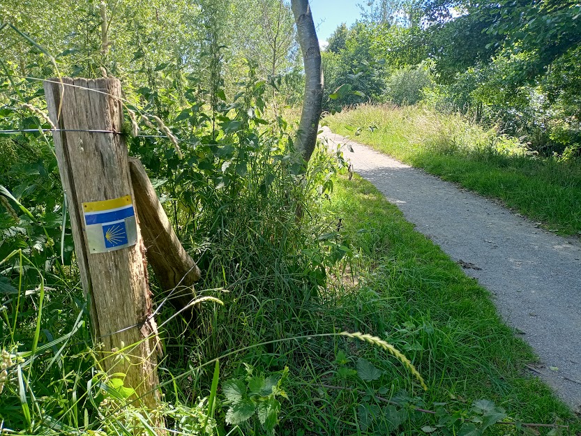
On Destination Fougères, you can cover part of the Plantagenet Way which goes from Mont-Saint-Michel in Aulnay de Saintonge or even the Way of the Capitals from Mont-Saint-Michel to Clisson.
Just like Santiago de Compostela, Mont-Saint-Michel has also been a popular place of pilgrimage since the Middle Ages. Many pilgrims reach the famous Norman sanctuary on foot, by roads called “paths of Paradise”. For nearly 25 years, the association "Les Chemins du Mont-Saint-Michel" has been committed to rehabilitating and promoting these ancient pilgrimage routes. They are marked with this symbol.
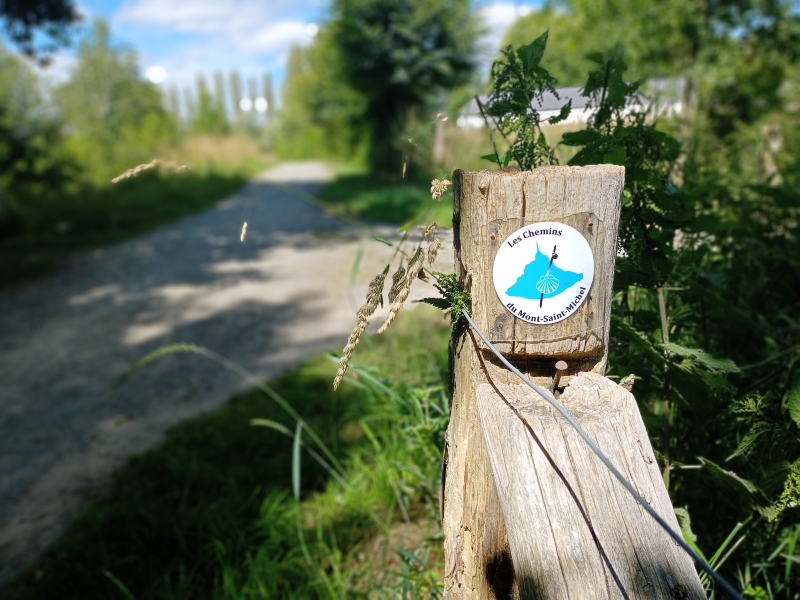
3 paths of Mont-Saint-Michel criss-cross Destination Fougères, the Way of the Plantagenets and Way of the Capitals in double beaconing with the way of Saint-Jacques-de-Compostelle and the Grand Chemin Montois which connects Tours to Mont-Saint-Michel.
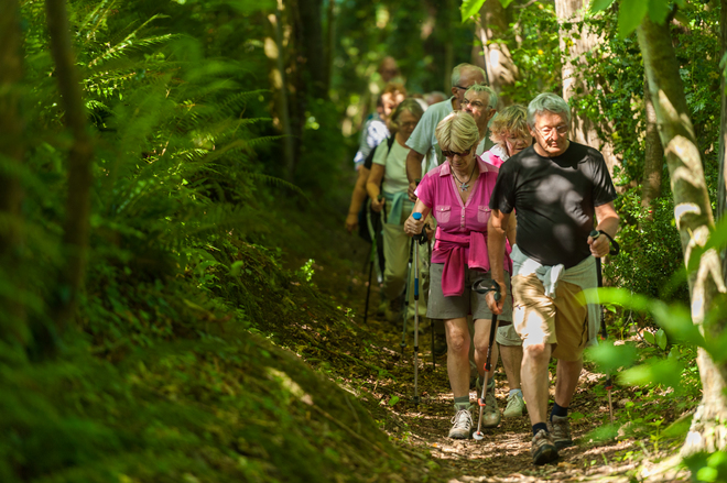
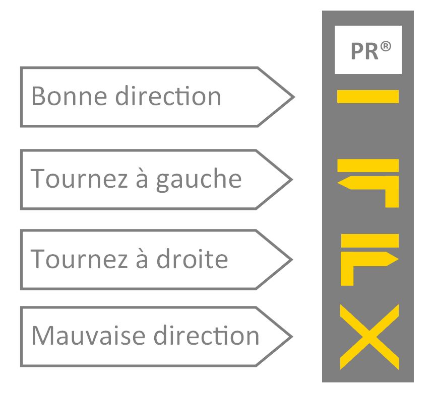
THE PR® (WALK AND HIKING)
PR® are walking and hiking routes generally on a loop, lasting less than a day. On Destination Fougères, they are generally marked with a yellow line but we can sometimes find a line white or pink or blue circles.
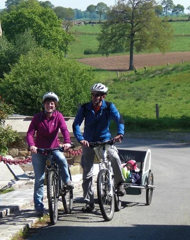
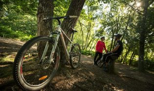
Signposting for mountain biking and cycling
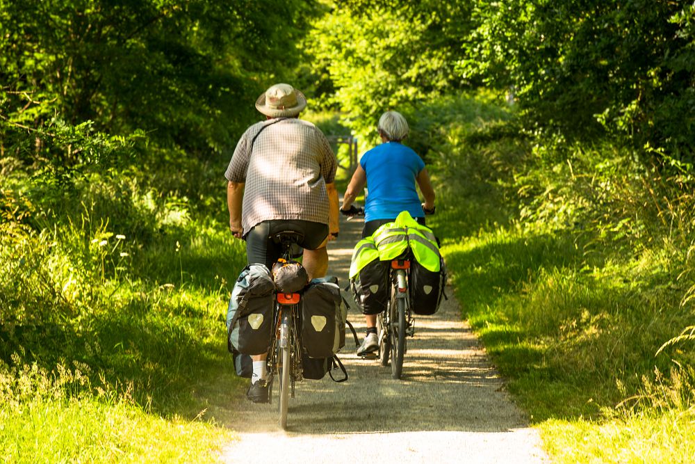
To discover Destination Fougères by freewheel, you have two options:
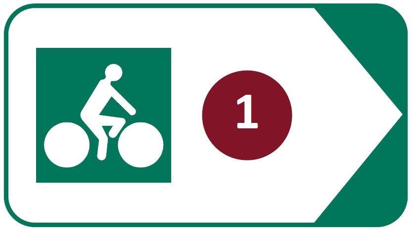
– 1- cycle routes which are routes using small roads with low traffic or greenways built on former railways and dedicated to non-motorized traffic. They are marked out, in both directions, by panels accompanied by a number corresponding to its identifier at the departmental level.
On Destination Fougères you can cover part of the VD3 from Fougères to Treverien, V9 from Fougères to Vitré, VD5 from Fougères to Louvigné-du-Désert, the VD4 between Saint-Pern and Antrain and VD9 from Bazouges-la-Pérouse to Parcé
– 2- Vélo-promenades® which are loops that take part of the network of cycle routes and small roads with little traffic. They are identified by their name and the number assigned to them.
Vélo-promenades® are also classified by color code to indicate their difficulty:
- green: Less than 20 km, flat, or slightly uneven.
- blue: Between 20 and 25 km. Low elevation, and/or a slightly long hill.
- red: Between 25 and 30 km hilly circuit, and/or presence of several hills.
- black: More than 30 km, significant elevation gain and/or difficult hills.
Markings for horseback riding
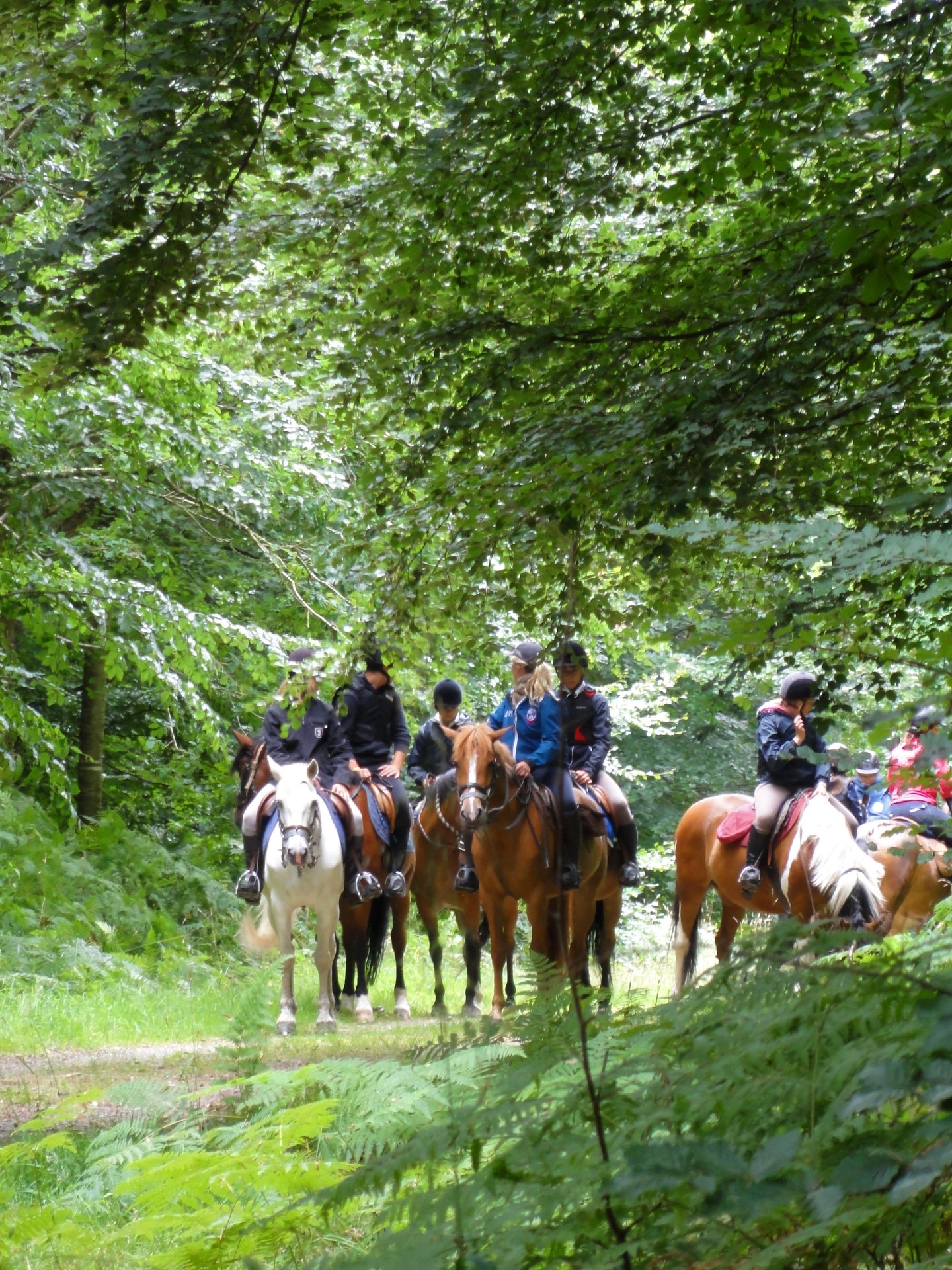
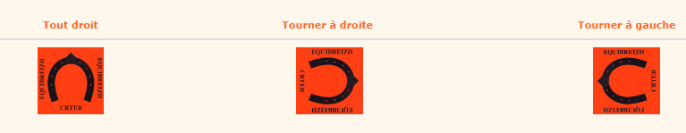
THEEquiBreizh route which crosses part of the Pays de Fougères allows you to tour Brittany on horseback over more than 2600 km passing through the most emblematic Breton tourist sites. Orange plastic beacons allow you to find your way around this route. In general, they are found to the right of the path, on trees 1,80m above the ground or on wooden posts.